To make it worse, this morning it was overcast and although it was light, there was just no indication as to which way was north. But the GPS said "travel north-west to xxx road and turn right". So I apparently went south-east and got chastised with the "Off route - Recalculating" in her haughtiest of voices. I'm sure they program in several versions of that statement. The amount of haughtiness in her voice is inversly proportional to the stupidity of the mistake.
So with a couple of U-turns and a late swerve onto a ramp, causing poor Jack to have a conniption trying to follow, we were under way.
The route took us through some back roads of Vermont which could do with some attention, but I do like travelling the back roads and taking in the atmosphere of the country.
Eventually we found a 50's style roadside diner and while Charleen ordered breakfast, I attempted to change the left light bulb which had gone bad. It took a while and, as usual, skinned my hand, but it turned out the replacement bulb, a spare of Jack's, was also bad.
So we traveled on and soon found a Wal-Mart. One is rarely far from a Wal-Mart in America.
We all did some shopping for what we needed, my needs being a light bulb and I was the first one finished. The girls soon arrived with food and beers and such and that all put away, we were under way again.
We took a few turns and crossed a bridge into New Hampshire. Then we spent a few hours traveling east on more back roads of this pretty state. Most of the houses are weatherboard, which is relatively unusual here. The architecture is old, quaint and pleasing to the eye.
We made a wrong turn - stupid GPS's fault - and found ourself at Lovell Lake. Had to stop for a photo of that. It was only a small lake, just a couple of miles long, but very pretty.
Maine was getting close, but amongst these back roads, we completely missed the border and so had to get a picture at the first named sign we saw.
Then it wasn't far - just one rain shower - and we ran out of states to visit in this direction. That is to say, we came to the Atlantic Ocean. This was a big first for Charleen and me so we made sure to find a nice scenic spot. York Harbour is a very pretty town and has a big beachside. Pity about the beach. But then we Queenslanders are spoilt.
Back on the big freeway and we headed for our intended digs south of Boston. We injected ourselves into the freeway system and emerged 80 miles later intact. Phew.
Tomorrow, we'll head back into Boston for a look around.
Pics:
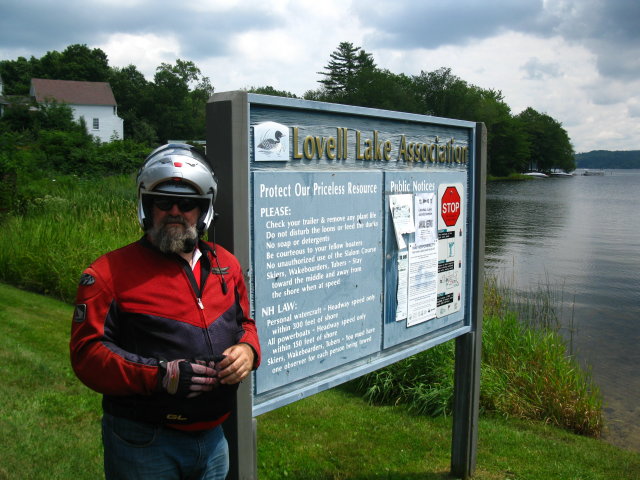
Our very own lake.
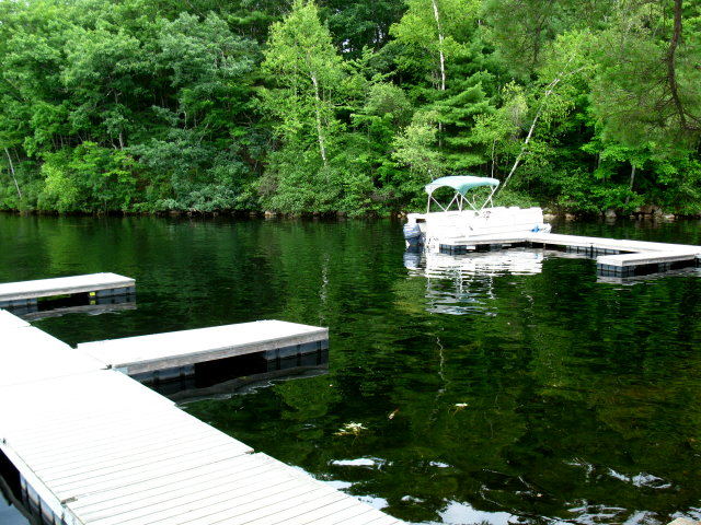
Pontoon boats are very popular on the lakes
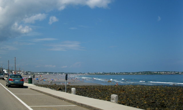
Grey beaches of York Harbour
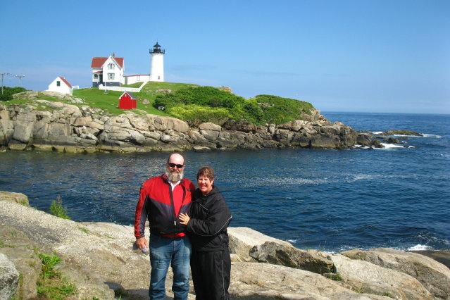
We finally reach the Atlantic
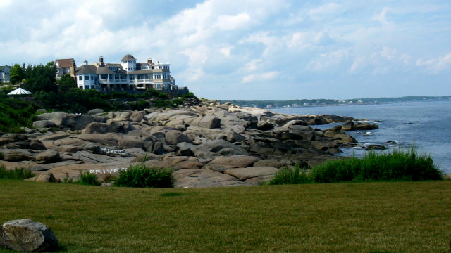
Now That's a nice hotel. No, we're not staying there.
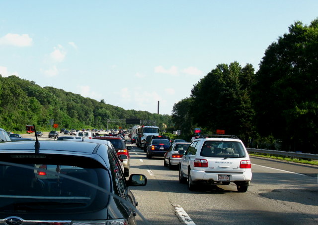
Big traffic on Boston freeways. Devotees will notice three Subarus in the pic. Probably the most popular single brand in the New England part of USA.
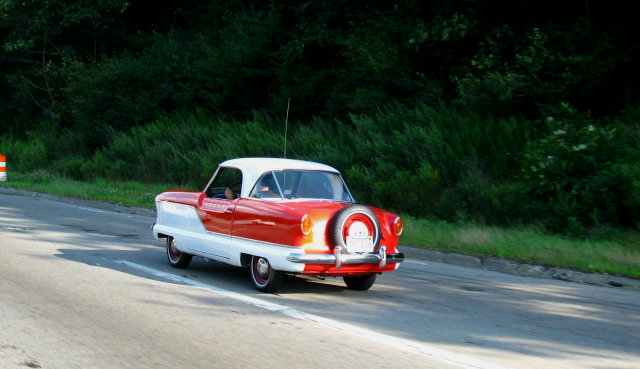
Noddy lives?
No comments:
Post a Comment